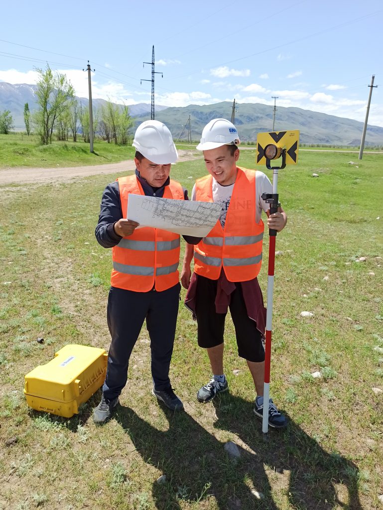
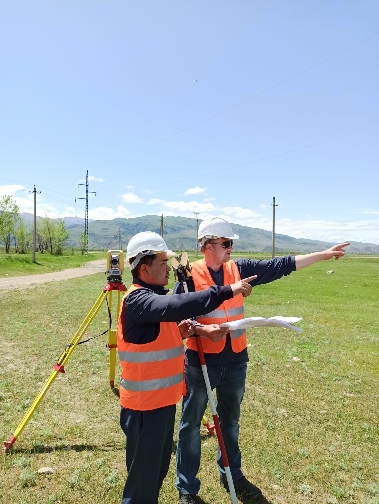
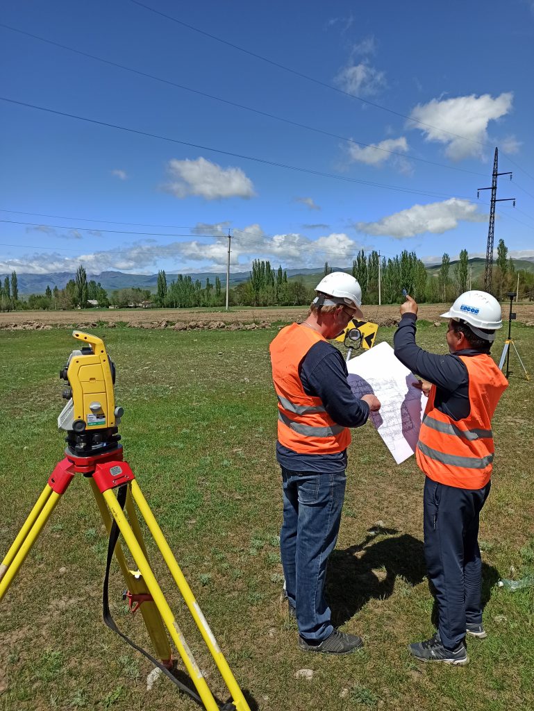
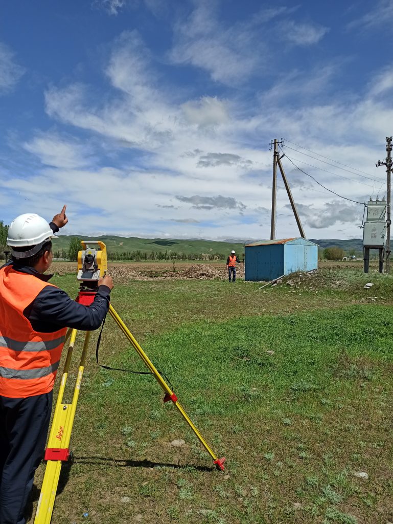
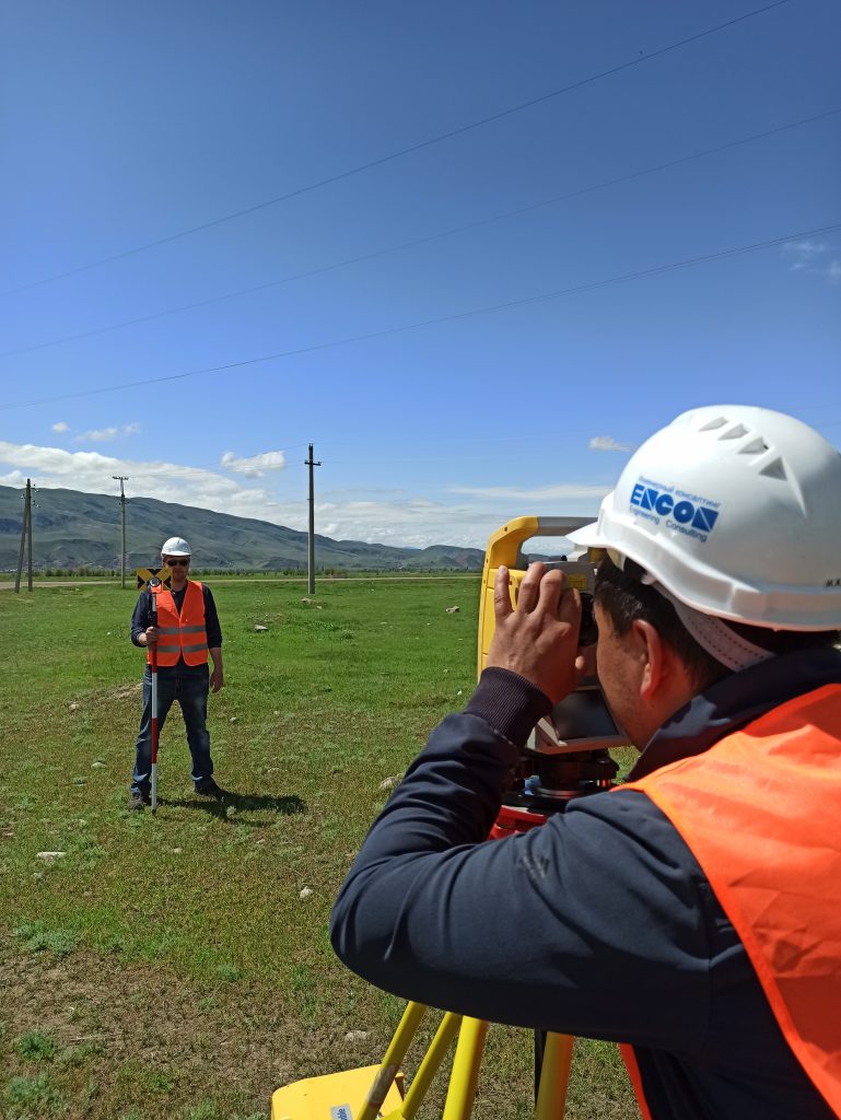
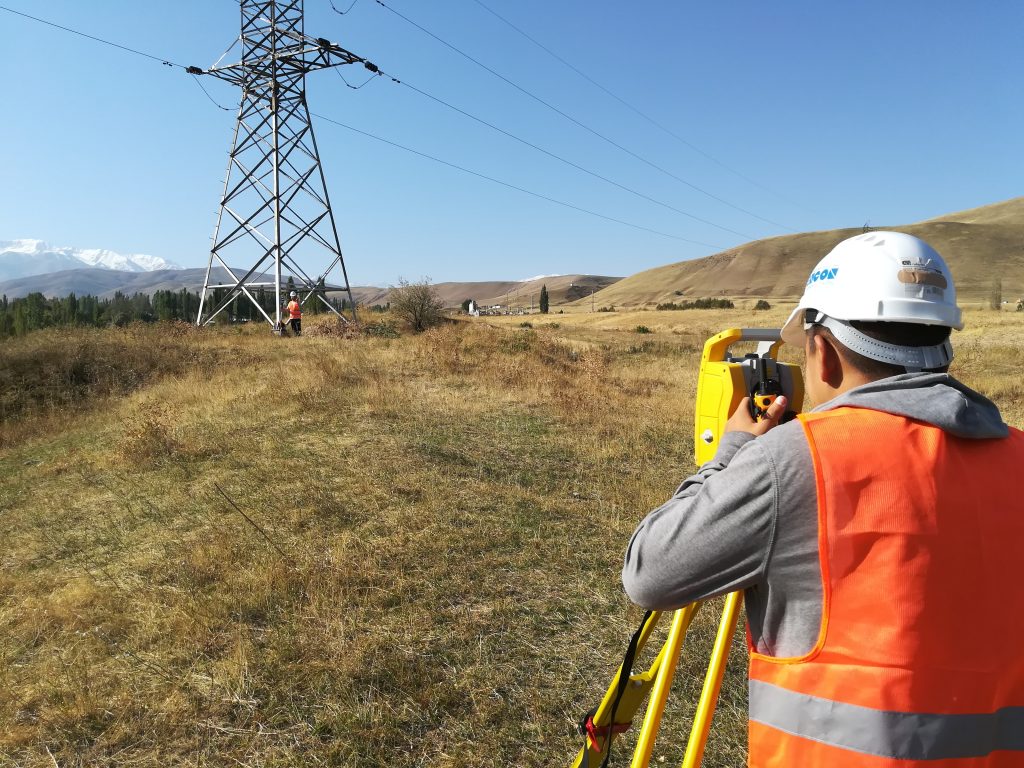
This is a type of engineering surveys. Geotechnical surveys in construction are characterized by work that is carried out to obtain topographic and geodetic materials, including data on terrain, buildings and structures (ground, underground and over ground), and various planning elements. All these works are required for a comprehensive assessment of the anthropogenic and natural conditions of the construction area.
Topographic and geodesy works include:
• collection, analysis, and compiling of permissive (title) documents and existing archive cartographic materials;
• reconnaissance (if necessary) survey of the territory;
• obtaining archive materials and baseline data from the architecture departments.
• establishing geodetic control;
• topographic survey;
• search and inspection of underground utilities, coordination with the operating authorities;
• desk processing of the findings;
• formation of a digital terrain model (DTM);
• development of a consolidated topographic plan of a proper scale;
• compilation of explications of chambers on the engineering networks and underground structures;
• preparation of a technical report;
• approval of topographic and geodetic materials;
• addressing questions and correcting issues raised by the state expert authority.